

The myth of Orpheus is also a geography.
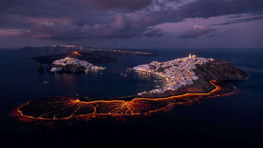
Most mythology sits lightly on the landscape, its events taking place in a general Mediterranean elsewhere that no coordinates can anchor. The Orpheus myth is different. It names its locations with the specificity of a traveller who has been to these places and remembers them precisely: the Acheron, the river of woe, and its confluence with the rivers of fire and lamentation in the wetlands of Epirus. The Rhodope Mountains of Thrace, whose rugged ridges and river valleys produced the musician and received him back in pieces. The island of Lesbos, washed by the northern Aegean, where the head that kept singing came ashore.
These places exist. They are coordinates in the Greek landscape. The geography of the myth is not metaphorical: when Orpheus descended into the underworld through the Necromanteion at Ephyra, the ancient world understood this as a site that could be visited, a riverbank where the boundary between the living and the dead was thinner than elsewhere, an underground chamber where the encounter with what lay below could be attempted by those willing to undergo the preparation it required.
To travel to these places today is not to reconstruct the myth. It is to stand in the landscape where the myth was already standing when it was first told.
The Acheron and the Gate Below
The Acheron river rises in the mountains of Epirus in northwestern Greece and flows south through the plain of Mesopotamos before reaching the Ionian Sea near the town of Parga. In the ancient world, the wetland that the river created in this plain before it reached the sea was understood as the surface manifestation of the underworld river whose name it carried: the river of woe, one of the five rivers of Hades, whose banks marked the boundary between the living world above and the realm of the dead below.
At the confluence of the Acheron with the smaller rivers the ancient sources called the Cocytus, the river of wailing, and the Pyriphlegethon, the river of fire, the Oracle of the Dead stood on a hilltop above the plain.
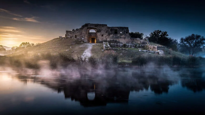
The Necromanteion was the most important of all the ancient temples housing oracles of the dead, located at the meeting point of the Acheron, Pyriphlegethon and Cocytus rivers, believed to flow through and water the kingdom of Hades. The site was identified in 1958 by the Greek archaeologist Sotirios Dakaris based on its geographical correspondence with the descriptions in Homer and Herodotus. Dating to the third or fourth century BCE, the ruins are 72 feet square with eleven-foot thick walls and subterranean chambers.
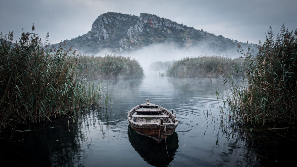
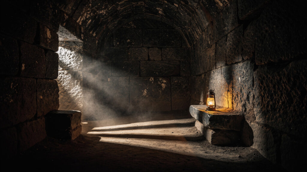
The pilgrims who came here were not casual visitors. They were subjected to three stages of physical and spiritual tests during their long-lasting stay in the dark rooms of the oracle. Through isolation, magical rituals, prayers and invocations, wandering in the dark corridors, and being obliged to follow a special diet, they were appropriately prepared to meet the souls of the dead. Pilgrims expected to see the images of the dead as shadows against the flickering lantern light, and these visions may have been enhanced by the special diet recommended in the days before entering the sanctuary, which some have described as including hallucinogens. The ritual use of the Necromanteion involved elaborate ceremonies wherein celebrants consumed a meal of broad beans, pork, barley bread, oysters, and a narcotic compound.
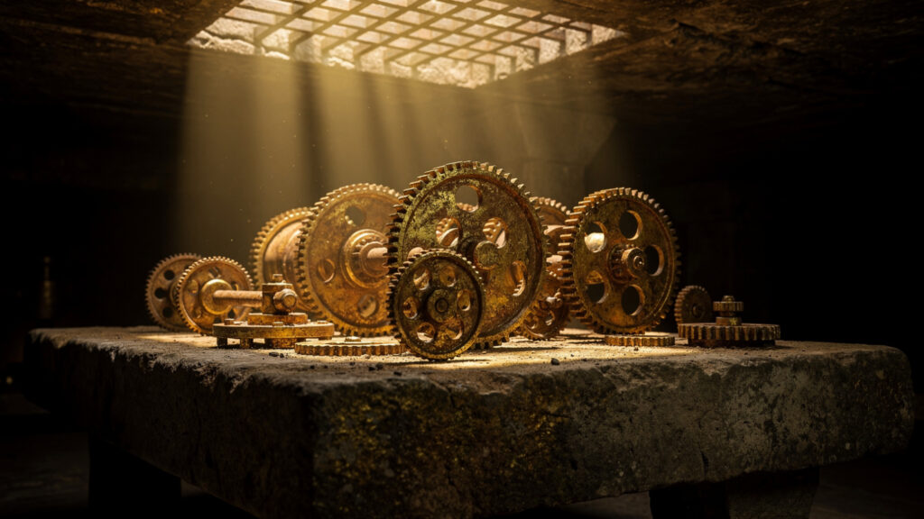
The underground chambers that Dakaris excavated contained something that changed the scholarly understanding of the site: inside the underground chambers, archaeologists found mechanical contrivances which may have been used to enhance the appearance of animated dead. Most surprising of all were 21 washers from at least seven different catapults, which Dakaris had mistakenly identified as components from a crane. The Oracle of the Dead, it seems, was also an installation equipped with machinery for producing theatrical effects in its underground spaces. The mechanical apparitions of the dead that pilgrims encountered in the darkness below the temple were constructed, at least in part, by human hands.
This revelation has not diminished the site’s significance. It has made it more interesting. The Oracle of the Dead was a place that used every available means, pharmacological preparation, physical isolation, theatrical machinery, and the atmospheric quality of an underground chamber at the confluence of rivers named for grief and fire, to produce in the pilgrim the state of consciousness in which the encounter with the dead became experientially real. Whether Orpheus himself descended here, whether the tradition that placed his descent at Taenarum in the southern Peloponnese or the tradition that placed it at the Acheron was the older one, the Necromanteion is the physical site where the ancient world practised what Orpheus accomplished in the myth: the deliberate descent into the realm of the dead in the hope of returning with something irreplaceable.
There has been some scholarly scepticism about the identification of these ruins as the Necromanteion. The most famous entrance to the underworld in the ancient world may not yet have been securely located. This uncertainty is itself a form of fidelity to the myth: the place where the dead can be reached has always been the place that is almost but not quite findable, the site that the living approach and that recedes before them.
The river is there. The confluence is there. The hilltop above the plain, where the thick walls and the underground chambers still stand, is there. The boat from Parga navigates up the Acheron from the delta, through the reedy embankment, to the site two kilometres inland. Approach it this way if you can: by water, up the river whose name means woe, through the flat plain where the ancient wetland once created the atmospheric conditions that made this confluence feel like the edge of something that ordinary geography does not usually provide.
Thrace | Where the Music Was Born and Where It Ended
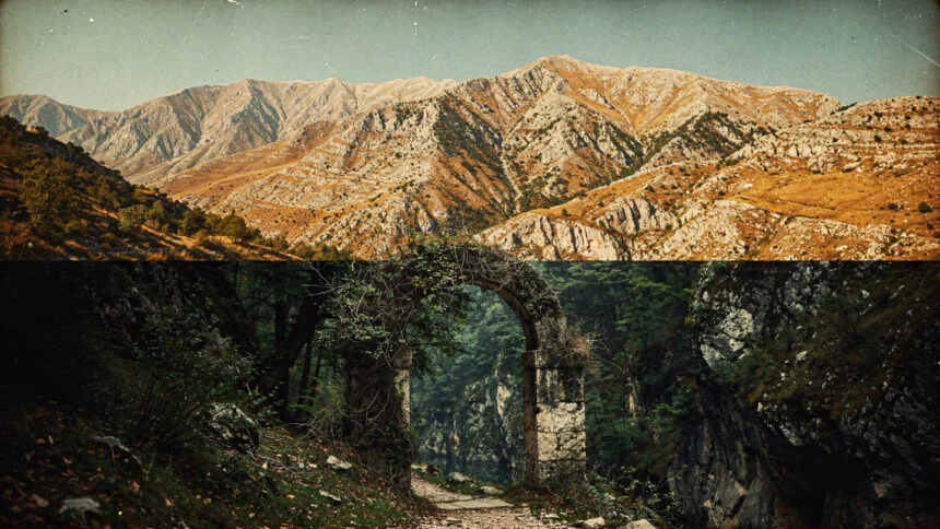
The Rhodope Mountains rise in northeastern Greece and continue into Bulgaria, forming the longest mountain range in the Balkans: a massif of granite and gneiss whose forested ridges and deep river gorges have the quality of a landscape that holds its interior life close rather than displaying it.
This is the landscape that produced Orpheus. Thrace, in the ancient imagination, was the northernmost edge of the Greek world, the territory where the ordered cosmos of the Olympian tradition met the wilder forces of the north: the home of the war god Ares and the war-mad Thracians, the homeland of the Muses’ most gifted son, the place where the music that moved the dead was first played on the hills above the rivers.
The Rhodope range carries its mythological tradition in its geography. The Evros river, which forms the modern border between Greece and Turkey as it flows south from the Bulgarian highlands, is the river that the ancient sources called the Hebrus, the river down which Orpheus’s head floated after the Maenads dismembered him in the forests of Thrace. The reach of the river where the dismemberment occurred, and the stretch down which the head floated singing, are not precisely identified in the ancient sources with the same cartographic specificity as the Acheron. But the landscape is enough: the mountain forests above the Evros, the river valley below them, the passage from the mountain interior to the sea.
The modern Greek part of the Rhodope range is administered primarily through the regional unit of Rhodope, whose capital is Komotini. The landscape between Komotini and the Bulgarian border carries the character that the ancient imagination associated with Thrace: forested, riverine, with the quality of a landscape that is simultaneously beautiful and austere, that does not offer its qualities easily but rewards sustained attention.
The village of Xanthi, in the lower Rhodope foothills, is the most accessible entry point for the mythology traveller approaching the Orpheus landscape from the Greek side. Its old town, a dense arrangement of Ottoman-era houses on the hillside above the modern city, has the atmospheric quality of a place that has been inhabited continuously for a very long time and that shows this in the layering of its built fabric. The landscape above Xanthi toward the Bulgarian border carries the granite and forest character of the Rhodope in its most concentrated form.
The Nestos river, which flows south through the eastern Rhodope to the Aegean, passes through a gorge of extraordinary beauty whose limestone and forest are the closest available encounter with the landscape type that the ancient sources described as the setting of Orpheus’s life and death. The Nestos gorge is walkable along a maintained trail that follows the river for several kilometres through increasingly narrow and dramatic terrain. In the forest above the gorge, in the quality of the mountain silence that the Rhodope maintains even in summer when the Greek lowlands are at full Mediterranean intensity, something of what the ancient tradition called the Thracian wild is still present.
The Maenads who killed Orpheus in these forests were the women of Dionysus’s ecstatic tradition, the ones whose god had sent them against the musician who had abandoned the world after Eurydice’s second death and retreated into the mountains, playing his lyre to the male followers he gathered around him and refusing any female company. The oldest account of his death, from Aeschylus, identifies the Maenads’ motivation as Dionysus’s anger: Orpheus had chosen Apollo over him, the ordered beauty of the lyre over the dissolution of the Bacchic rite. The killing was theological as much as personal: the Dionysian principle eliminating the Apollonian one, the ecstatic overwhelming the ordered.
His body was scattered across the mountains. His head was thrown into the Hebrus.
The Hebrus and the Journey to Lesbos
The head floated. And as it floated down the Hebrus to the sea, it sang.
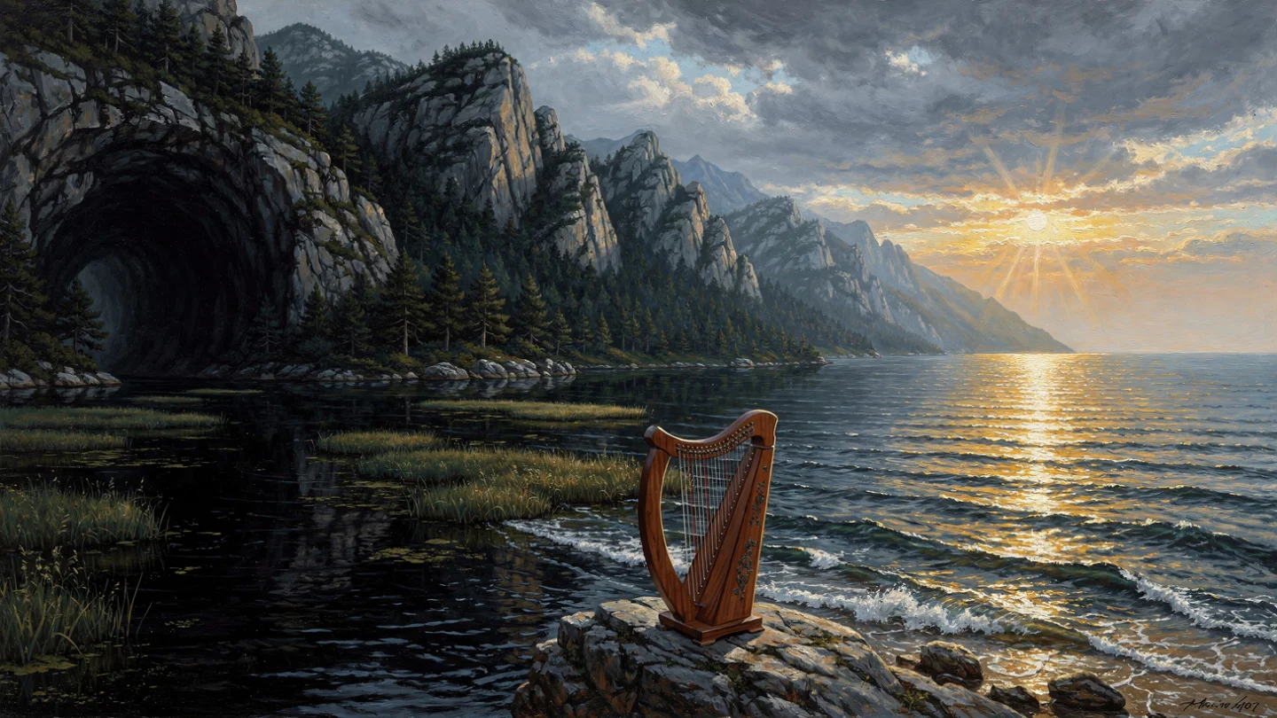
This is the detail that the tradition preserved with the most insistence and that the subsequent literary tradition returned to most consistently: that even after dismemberment, even after the separation of the musician from his body, the music continued. The head sang on the river. The head sang on the open sea. The lyre floated alongside it, sounding on its own in the Aegean wind.
The current carried them south and west from the Thracian coast to the island of Lesbos, whose northern shore faces the mainland across the narrow passage of the Mytilene Strait. The island received the head and established an oracle at the site of its arrival. The oracle of Orpheus on Lesbos was consulted for prophecy, the singing head continuing in death the function that the Orphic tradition attributed to the musician in life: the capacity to move between the living and the dead worlds and to bring back from the encounter knowledge that the purely living could not access.
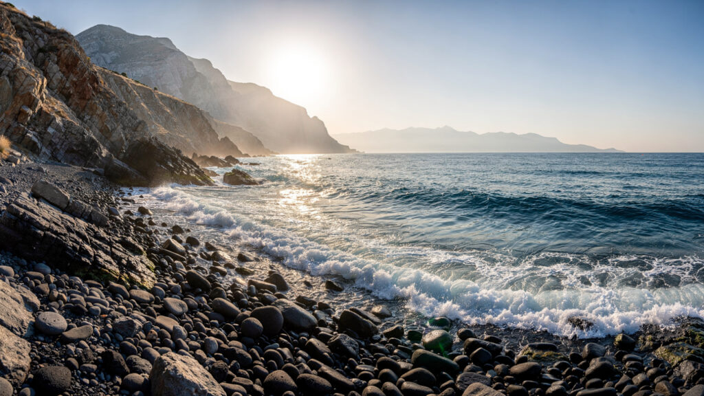
The oracle is attested in the ancient sources without a precise geographical location on the island. Lesbos’s northern coast, facing the direction from which the head would have arrived, is the most geographically logical site for the shrine. The coast between the village of Molyvos and the village of Sykaminea has the character of a northern Aegean shore receiving whatever the sea carries from the Thracian direction: the long fetch of the northern Aegean, the coastal orientation toward the mainland, the quality of the light on the water in the morning when the sun comes from behind the island’s mountain spine and falls on the sea ahead of it.
The Lesbos article elsewhere on this site covers the island’s extraordinary range of cultural and geological significance. The Orpheus connection adds a mythological layer to an island that already carries the heritage of Sappho, the lyric tradition, Aristotle’s biological investigations, and the petrified forest of the Miocene. Lesbos was the island that received the singing head: the place where the music that had moved the dead continued after the musician was gone, the island that the current of the Hebrus chose as the landing point of everything that remained of the father of songs after the Maenads had scattered everything else.
Walking the Full Route
The complete geographical arc of the Orpheus myth, from the underworld entrance in Epirus through the Thracian mountains where he lived and died to the Aegean island where his head came to rest, is not a single journey that any reasonable travel itinerary would attempt to cover in one continuous movement. The distances are substantial and the sites are in different regions that each require their own time.
What the full arc provides is a framework for understanding the myth’s relationship to Greek geography: the underworld entrance at the northwest, in the wetlands where the rivers of the dead come closest to the surface, the mythological homeland at the northeast, where the Greek world meets the Balkans and the wild north begins, and the island at the east, where the Aegean receives what the rivers carry from the mountains.
Begin at the Acheron if you are approaching from the south or west. The site is most accessible from Parga, whose position on the Ionian coast makes it the natural base for the wetland landscape of the Acheron delta and the confluence above it. Allow a full day: the river approach by boat from Parga, the two-kilometre walk from the landing point to the site, the time inside the underground chambers where the mechanical apparitions once moved in the darkness, and the return by the same route in the afternoon light.
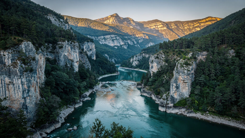
Continue to Xanthi and the eastern Rhodope if you are extending into the north. The Nestos gorge trail is the most concentrated encounter with the Thracian landscape available in the Greek part of the Rhodope range. The drive from Xanthi into the gorge entrance takes under an hour. The trail requires three to four hours for the full accessible section. The mountains above are best approached in late spring or early autumn, when the summer heat has not yet or has already lifted and the forest carries its full density.
End at Lesbos, whose ferry connections from the northeastern Aegean make it accessible from Kavala or Thessaloniki as a final stage. The northern coast of the island, from Molyvos westward to Sykaminea, is the landscape where the oracle stood. The road between the two villages follows the cliff edge above the sea, with the Turkish coast visible on clear days across the strait, the Thracian direction from which the head arrived in the current’s keeping.
The myth does not require a continuous journey to be understood geographically. It requires only the recognition that the places it names are real, that the rivers and mountains and island shores where Orpheus’s story unfolded are still there, still carrying the atmospheric character that made the ancient imagination place the myth’s events in precisely these landscapes rather than elsewhere.
The Acheron still flows to the sea through its flat plain. The Rhodope still holds its forest interior above the river gorges. Lesbos still receives what the northern Aegean carries from the Thracian coast.
The head is not there. The music, in whatever form it has taken in the centuries since the oracle was consulted, has moved on.
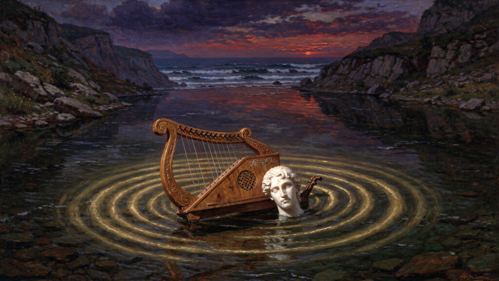
But the current that brought it is still running in the right direction.
At Olympus Estate, Wanderlust Greece finds the places where the Greek geographical and mythological imaginations are most precisely aligned. The landscape of Orpheus is one of the most available: named rivers, named mountains, a named island. The myth knew where it happened. Here is how to find those places.